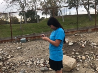
About This Lesson
An experiment where you find the air quality of different areas using air quality monitors. Then you take the data and make them into interpolation maps on ArcGIS online. This will help students learn how to do simply cartography and get them to analyze data.