
About This Lesson
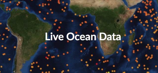
Investigate the ocean using live ocean data. Study the temperature of the ocean from the surface to a depth of 2,000 meters. Discover how salinity changes by geography as well as depth in this interactive mapping tool. All the of the data is collected in real time and uploaded to an easy to use mapping interface. Graphing and printing tools allow your students to compare and contrast data collected from around the world.